Southern California is an urban jungle. This connurbation is among the largest in the United States, and extends from Santa Barbara County to Tijuana, Mexico and east to Riverside Country and the deserts of the Southwest. Tall downtown areas are surrounded by unrelenting low density sprawl, and jammed freeways criss-cross the arid landscape.
Last weekend, I drove from Santa Barbara to Pacific Beach, San Diego for a visit. The drive should have taken four hours, but traffic and weather combined to tack an additional two and one half hours of delay. Additionally, about 40% more gas was consumed that would be expected for the mileage of this trip. This makes sense considering long stretches of the drive were in first or second gear!
 |
| Route |
We left Santa Barbara on HWY 101 southbound and followed this through Ventura Country and up and over EL Camino Peak into the San Fernando Valley. SFV, as it is known locally, is a conglomeration of suburbs bordered on three sides by mountains which seeks to differentiate itself from LA by offering residents a higher quality of life than locations closer to the city.
 |
| US 101 at El Camino Peak |
 |
| San Fernando Valley looking E-SE towards Hollywood Hills and LA |
 |
| Here I caught I-405 S through the Hollywood Hills |
In the SFV, I got on interstate 405 heading south towards San Diego, and was immediately stuck back in traffic. For the next 100 km. In in the hardest rain I have ever experienced in southern California. We passed accident after accident, as 12 lanes (each way) of traffic squeezed through this notoriously busy section of freeway.
 |
| HWY 73 - Public vs. Private? |
On the southern end of the LA area, traffic was still brutal so I chose to take a toll road for part of the journey. Hwy 73 is privately owned and operated, and provides a traffic free, well maintained shortcut across Laguna Nigel and around urban Irvine, CA. In the picture above, you can see the 3 main N-S corridors: I-5 (left), I-405 (middle) and Hwy 73 (right). The two interstates go through flat, congested areas and are always clogged with traffic and heavily rutted with potholes. Hwy 73 is meticulously paved, and traffic is light as the highway climbs through much nicer, more exclusive neighborhoods. The trip on the toll road cost me US$4 which I paid via
Fastrak transponder, but I do believe the price varies with congestion level.
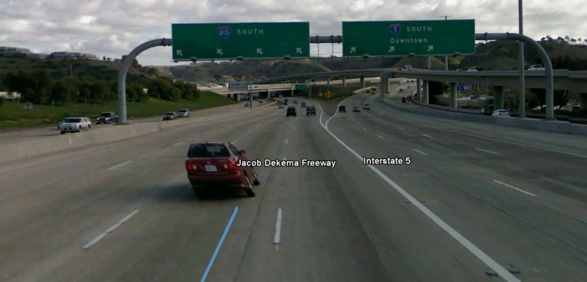
One nearing San Diego, I was getting tired and not paying close enough attention to the signs, and I accidental ended up on I-805 instead of I-5. The 805 was now taking me on an inland detour and was in fact heading away from my destination! Darn!
 |
| Oops! Ended up on 805, grabbed the 52 back to the five! |
 |
| ZZZzzzzzzzz..... missed this sign. |
Luckily, in Southern California every freeway connects with every other freeway multiple times, so I had no trouble finding a new route to my destination. All I had to do was take 52 E to I-5 S and I was there. If I had missed the 52, I would have had several other alternate freeway routes within the next several miles. This sheer complexity of this freeway systems leaves me in awe every time I pass through.
 |
| Finally! Got of the 5 and headed west into Pacific Beach! |
Come back next time for more info about the darling beach neighborhood of Pacific Beach! It's Southern California at its finest!
 |
| Elevation and Speed Profile - Spent a lot of time in traffic on this trip! |
Download the
KML file


No comments:
Post a Comment
Note: Only a member of this blog may post a comment.